For six years, ISeeChange has rallied citizen scientists, curious neighbors, and communities on the frontlines of our changing climate to track the impacts and tell us their stories.
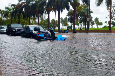
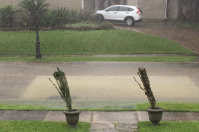
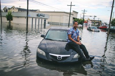
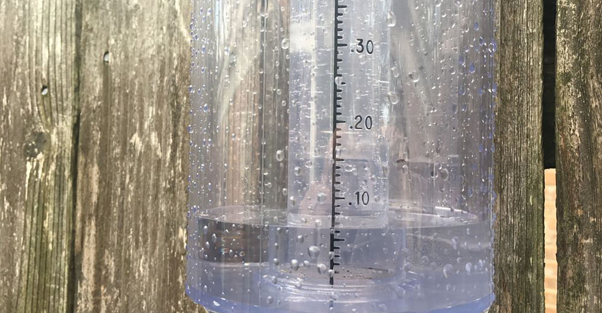
As climate models predict more intense rainfall, ISeeChange is ramping up our understanding of storms and flooding. Together with NOLA Ready, the emergency alert system run by the City of New Orleans’ Office of Homeland Security and Emergency Preparedness (NOHSEP), we’re creating a network of 300 rain gauge hosts to document storms and flooding in New Orleans.
With a new update to our mobile application, ISeeChange Tracker, users will be easily able to record storm start and stop times, add rain gauges to their profiles, and record total rainfall. Gauge hosts and other residents will post photos and stories about flooding on ISeeChange, synced to the data gathered from the rain gauges and other monitoring efforts.
“The rain never falls in the same spot in the same way,” Julia Kumari Drapkin, who has led ISeeChange efforts to crowdsource climate change data with both NASA and NOAA since 2015, said. “Resident participation is crucial to create a detailed picture of the kinds of storms that impact the neighborhood, so we can target effective solutions.”
This project will build off of work that ISeeChange did in Gentilly, New Orleans in the summer of 2017 when ISeeChange users flagged flooding and drainage issues months before record-breaking rain events that crippled the city. ISeeChange was able to modeled storm flooding impacts and drainage rates.
The results, which were published last year and included in green infrastructure design proposal requests, underscore the need for the city to look beyond its pumping systems to manage the threats of increasingly intense and more frequent storm events by partnering with residents. Our work in Gentilly was recently featured in the Kresge Foundation’s annual report.
Now we’re taking that work city-wide.
“Our climate and topography make flooding a reality in New Orleans,” said Collin Arnold, director of NOHSEP. “This rain gauge program is part of a larger effort to encourage residents to better understand the risks we face as a region. We hope these community leaders will be engaged not only in data collection, but also in spreading the message about flood preparedness to neighbors.”
We hope to bring this new way of recording and reporting sensor measurements to areas beyond New Orleans in the near future. So make sure to keep your ISeeChange Tracker app updated. T
We’re grateful to be part of this community of observers with you – particularly during a summer like this one when the signals of climate change seem to be all around us. So whether you’re dealing with flooding or fire, keep posting! We’re developing solutions for us all to keep eyes on change.